Zoe Schwarz · 1 October 2026
Indigenous Networks Document Shifts in Northern Wildlife Migration Corridors
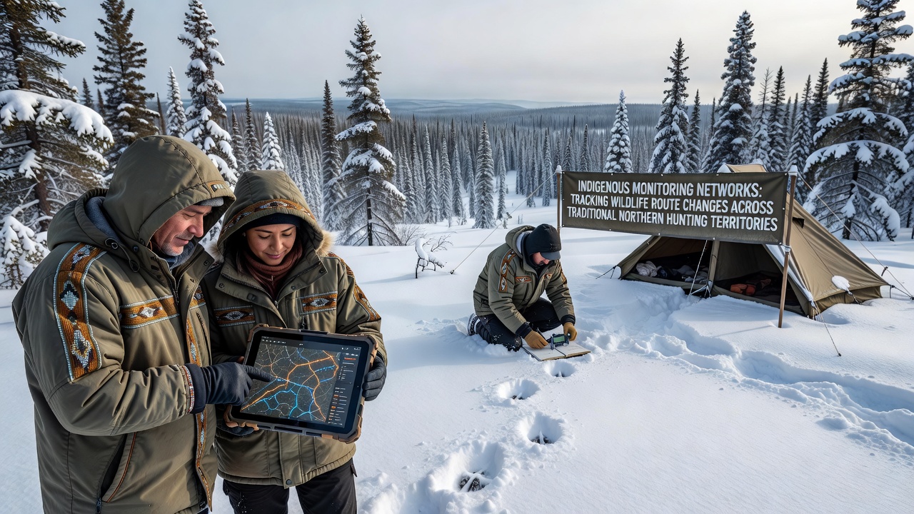
Indigenous monitoring networks across northern Canada and Alaska combine traditional knowledge with modern tracking tools to record alterations in wildlife routes through ancestral hunting territories, and these efforts have produced consistent datasets that span multiple decades. Communities in regions such as the Northwest Territories, Nunavut, and the Yukon maintain observation stations where elders and trained technicians note seasonal movements of caribou, moose, and migratory birds while cross-referencing findings with GPS collar data and camera traps.
Network Structure and Data Collection Methods
Local organizations coordinate these networks through established protocols that prioritize knowledge passed across generations alongside quantitative measurements, and technicians visit fixed locations at regular intervals to log sightings, track snow conditions, and collect scat or hair samples for genetic analysis. In October 2026 several stations reported earlier-than-average arrivals of barren-ground caribou herds along river crossings that had shifted several kilometers eastward compared with records from the previous decade, while moose populations appeared more frequently in areas previously dominated by woodland caribou.
Training programs run by regional colleges prepare community members to operate motion-activated cameras and download location data from satellite collars provided through partnerships with government wildlife agencies, and the resulting information feeds into shared databases that allow comparison across hundreds of kilometers of territory. Researchers at the University of Alaska Fairbanks have collaborated on several of these projects to standardize data formats so that findings from different nations can be integrated without losing local context.
Observed Changes in Migration Patterns
Records compiled since the early 2000s show that several major caribou herds now cross traditional hunting grounds later in autumn and depart earlier in spring, and these timing shifts coincide with changes in vegetation green-up dates measured by satellite imagery. Observers note that river ice breakup occurs weeks sooner in many locations, forcing animals to select different fording points where water levels remain low enough for safe passage. One study released by Environment and Climate Change Canada in 2025 documented a 17 percent reduction in the number of crossing sites used by the Bathurst herd between 2010 and 2024.
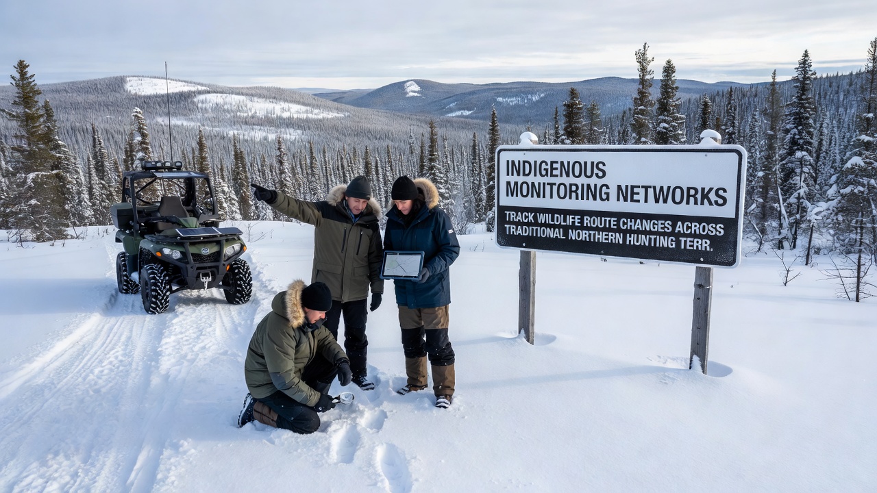
Moose have expanded into higher-elevation terrain during summer months while retreating from lowland wetlands that have become saturated by increased precipitation, and hunters report encountering these animals in patches of forest that were rarely visited twenty years ago. Bird migration routes have also adjusted, with several goose populations staging for longer periods at lakes that retain open water into late fall. Data collected through 2026 indicate that these patterns hold across multiple independent monitoring sites rather than appearing as isolated anomalies.
Integration with Broader Research Efforts
Findings from the networks contribute to larger circumpolar assessments coordinated by the Arctic Council working groups, and the inclusion of Indigenous observations has prompted agencies to adjust harvest management zones accordingly. Government biologists now consult network reports before setting quotas, recognizing that route changes affect both animal distribution and hunter access. Academic papers published in peer-reviewed journals have cited these community datasets when modeling future scenarios under continued climate trends.
Equipment upgrades introduced in 2024 and 2025 include solar-powered transmitters that send real-time alerts when large groups pass camera locations, and this technology reduces the need for frequent site visits during harsh weather. Yet network coordinators emphasize that human observers remain essential for interpreting context such as recent burns, new mining roads, or predator activity that automated systems cannot capture.
Conclusion
The combined record produced by Indigenous monitoring networks supplies detailed, geographically broad information on wildlife route modifications across traditional northern hunting territories, and this information supports both local decision-making and wider scientific understanding of ecosystem responses. Continued operation of these networks through coming seasons will determine whether current trends stabilize or accelerate, while partnerships with research institutions help maintain data quality and accessibility for all parties involved.